Photo via Pexels
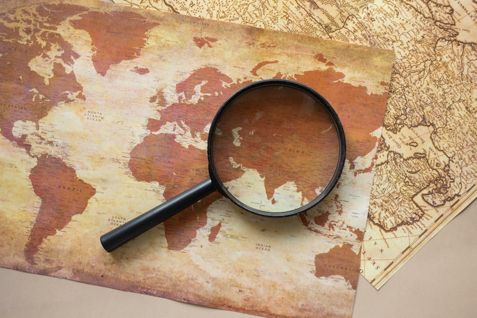
The Coram Map Tool is an interactive digital platform that allows users to explore and analyze historical maps with incredible detail. Developed by the Coram Foundation, it provides high-resolution scans of significant cartographic works, enabling users to zoom in on minute details, compare different map versions, and access contextual information. It's designed for historians, researchers, educators, and anyone with a passion for the history of cartography.
Editorial check
How this page is checked
Source trail
corammap.org.uk
External links are separated from Surfaced commentary.
Reader safety
Context before clicks
Product links and external services are not presented as guarantees.
Monetization
No affiliate flag
Ads and commerce links are kept distinct from editorial text.
Surfaced take
Why It’s Useful
This tool is a treasure trove for anyone interested in historical geography or the evolution of our understanding of the world. Unlike static image viewers, Coram Map Tool offers sophisticated layering and comparison features, allowing for deep scholarly analysis. Its ability to overlay different maps or highlight changes over time is unparalleled for educational purposes. Power users appreciate the detailed annotations and the ability to draw connections between cartographic representation and historical events. It offers a level of engagement with historical maps far beyond what one might find in a textbook or a standard museum exhibit.
In everyday life
When you’d actually reach for this
Imagine you're researching your ancestral hometown and want to see how its layout has changed over the past two centuries. You can use Coram to overlay an old city plan with a modern satellite view, revealing forgotten streets or lost landmarks.







Enjoyed this? Get five picks like this every morning.
Free daily newsletter — zero spam, unsubscribe anytime.