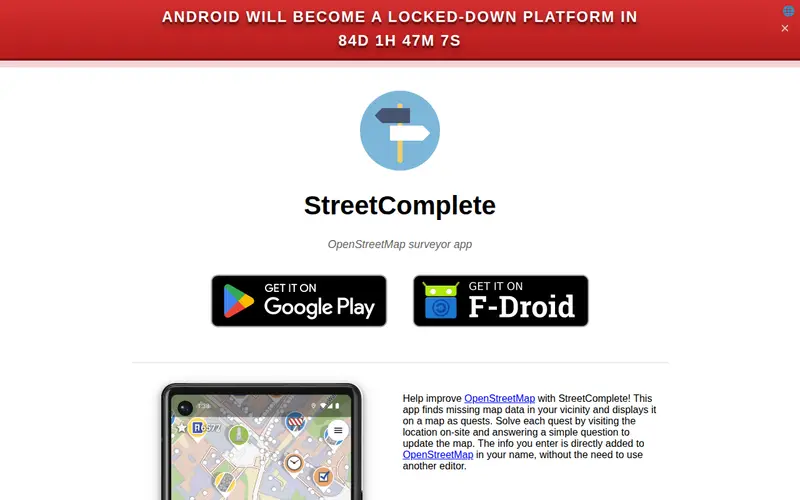
StreetComplete is a mobile application designed to help users contribute to OpenStreetMap by completing small, everyday mapping tasks. It presents users with simple quests based on their current location, such as verifying building heights, adding street names, or marking whether a path is paved. The app is built by the OpenStreetMap community, making open-source mapping accessible to anyone with a smartphone. For example, a user walking down a street might be prompted to confirm if a specific building has a shop on its ground floor, a quick and easy task that enhances the richness of the map data.
Editorial check
How this page is checked
Source trail
streetcomplete.app
External links are separated from Surfaced commentary.
Reader safety
Context before clicks
Product links and external services are not presented as guarantees.
Monetization
No affiliate flag
Ads and commerce links are kept distinct from editorial text.
Surfaced take
Why It’s Useful
StreetComplete democratizes the process of contributing to a global, open-source map. Unlike traditional mapping tools that require specialized knowledge, StreetComplete breaks down complex data collection into bite-sized, gamified tasks. This makes it incredibly accessible for casual users to make meaningful contributions to OpenStreetMap without feeling overwhelmed. Power users appreciate the sheer volume of data that can be collected quickly and the ability to correct inaccuracies on the fly. It's perfect for anyone who wants to improve the maps they use daily, from cyclists planning routes to hikers exploring new areas, and it fosters a sense of community ownership over geographic data.
In everyday life
When you’d actually reach for this
While planning a group trip and trying to confirm the accessibility of a local park, you might use it. Or perhaps you're curious about the exact type of lighting on your usual commute and decide to quickly add that detail to OpenStreetMap.






Enjoyed this? Get five picks like this every morning.
Free daily newsletter — zero spam, unsubscribe anytime.