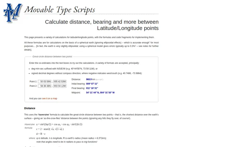
The Earth Grid Calculator is a web tool that helps users convert between various geographic coordinate systems. It supports conversions between latitude/longitude (in decimal degrees or degrees, minutes, seconds) and grid references like UTM (Universal Transverse Mercator) and MGRS (Military Grid Reference System). The tool is useful for anyone working with maps, GPS data, or geographical information systems that require precise location referencing.
Editorial check
How this page is checked
Source trail
movable-type.co.uk
External links are separated from Surfaced commentary.
Reader safety
Context before clicks
Product links and external services are not presented as guarantees.
Monetization
No affiliate flag
Ads and commerce links are kept distinct from editorial text.
Surfaced take
Why It’s Useful
While many GIS professionals are familiar with these conversions, for hobbyists, amateur surveyors, or developers integrating GPS data, performing these calculations manually or through complex software can be a barrier. The Earth Grid Calculator provides a simple, web-based interface to perform these essential geographic transformations accurately. It’s incredibly useful for geocaching enthusiasts needing to convert coordinates from a website to their GPS device, or for developers testing location-based features who need to quickly verify coordinate formats. Its direct, no-frills approach to a complex problem makes it a standout utility.
In everyday life
When you’d actually reach for this
You might use it when planning a hiking route and need to mark a specific spot on your map using a grid reference. Or perhaps you're transferring GPS waypoints to a friend who uses a different coordinate system for their own navigation.







Enjoyed this? Get five picks like this every morning.
Free daily newsletter — zero spam, unsubscribe anytime.