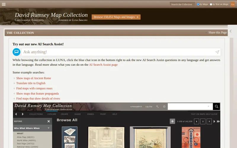
The David Rumsey Map Collection is a privately held online archive of over 150,000 high-resolution digital maps, atlases, and globes from the 16th to 21st centuries. This incredible resource provides access to a vast array of historical cartography, offering unparalleled insights into how the world has been mapped and understood throughout different eras. Users can explore detailed imagery of both well-known and obscure geographical representations.
Editorial check
How this page is checked
Source trail
davidrumsey.com
External links are separated from Surfaced commentary.
Reader safety
Context before clicks
Product links and external services are not presented as guarantees.
Monetization
No affiliate flag
Ads and commerce links are kept distinct from editorial text.
Surfaced take
Why It’s Useful
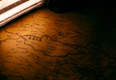
Unlike generic map sites, the Rumsey collection focuses exclusively on historical cartography, providing extremely high-resolution scans that often reveal intricate details missed in lower-quality reproductions. For educators, historians, and students, this is an invaluable primary source for understanding the evolution of geography, exploration, and political boundaries. Researchers can analyze specific map features, compare different cartographic styles, and trace the development of geographical knowledge. The site’s powerful zoom and pan capabilities allow for deep exploration of each map, making it a treasure trove for anyone interested in the history of mapmaking and the depiction of our world.
In everyday life
When you’d actually reach for this
You might use it to visualize historical boundaries for a local history project or to understand the terrain of a region you're planning a hiking trip to. It's also a great resource if you're curious about how your neighborhood has changed over time.





Enjoyed this? Get five picks like this every morning.
Free daily newsletter — zero spam, unsubscribe anytime.